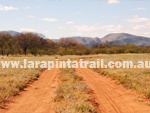
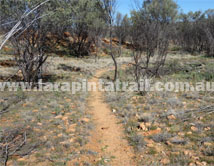
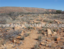
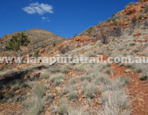
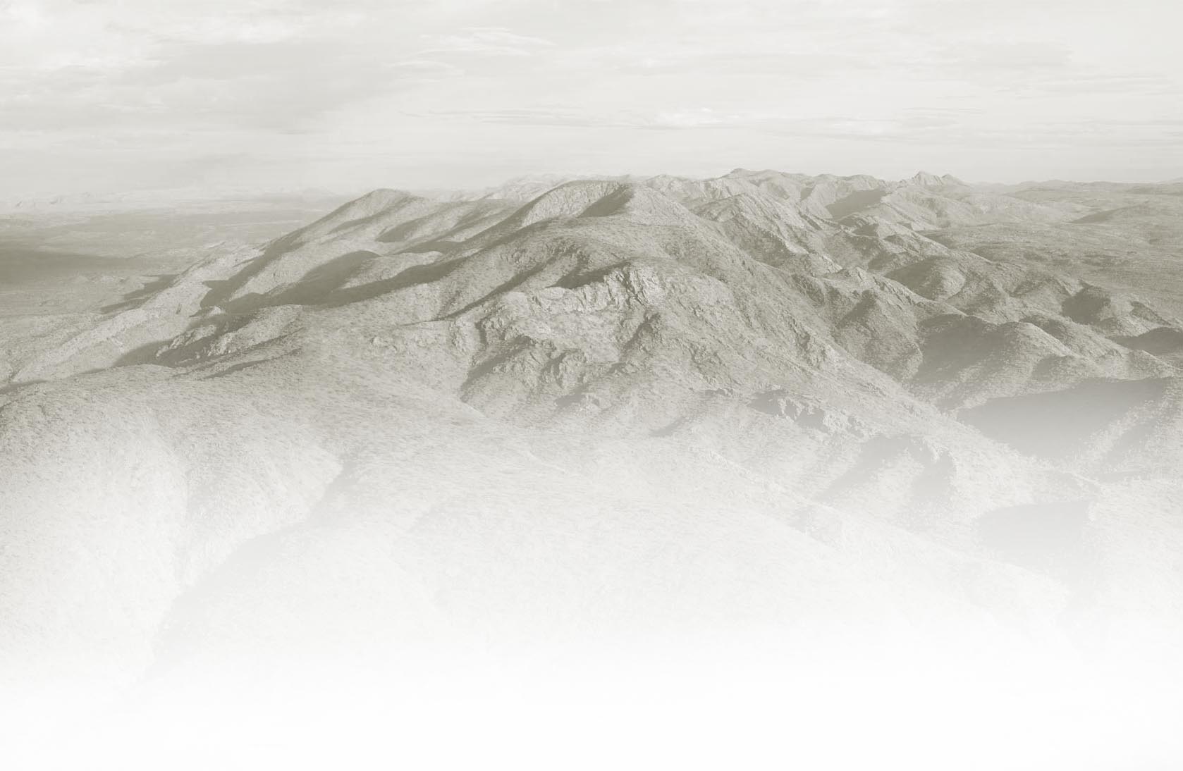
| Section 6 is the longest section of the Larapinta Trail, but much of the trail winds up, around and over undulating and boring terrain for no particular reason. That said, it is a pleasant walk across Alice Valley and a welcoming change after the rugged mountainous terrain of S5. Excellent walk for bird watching. Rocky Gully is a nice half way campsite. |
| |
 Snapshot Snapshot |
|
 |
Longest section of the Larapinta Trail |
|
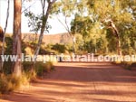
Easy access to trailhead at Ellery Creek |
|
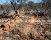
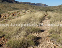
Undulating, winding and boring terrain at times |
|
Access to Hugh Gorge Trailhead is by high clearance 4WD only |
|
| Highlights |
|
|
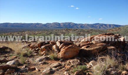
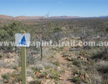
Views from the Saddle are impressive |
|
Excellent bird life along entire trail |
|
Ghost Gum Flat campsite. Nice overnight camp option. |
|
Rocky Gap is a nice halfway point. There are also water tanks |
|
 Related Links Related Links |
|
|
|
 |
|
| |
| Trail Grade |
 |
Med: Suitable for fit walkers |
| Distance (km) |
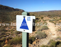
31.2 |
|
| Duration (hrs) |
11 |
Comfortable. Allow sightseeing |
| Terrain |
Good |
Mostly hard surfaces |
| Gradient |
Average |
Undulating |
| Trail |
Good |
.Trail is well defined |
| Water |
Yes |
Limited. In tanks only. |
| Shade |
Poor |
Very Limited. |
| Camping Fees |
Yes |
($5.00 per person) Ellery Creek |
| Campsites |
Yes |
S6 Campsites page  |
| Walk Options |
Yes |
Multiday - Extended |
|
|
|
|
|
|
|
|
|
|
|
|
|
|
|
 |
S6 Webpage  Coming Soon Coming Soon |
|
NT Parks Section Fact Sheet and Trail Map  |
|
NT Parks Section Fact Sheet and Trail Map |
|
|
|
|
 Getting to Hugh Gorge Trailhead Getting to Hugh Gorge Trailhead |
 |
Alice Springs to Hugh Gorge Access Track Turn Off is approx 56 km west of Alice Springs via Larapinta and Namatjira Dve. Hugh Gorge is located 22.3km from the T/O along a high clearance 4WD only track. |
 Hugh Gorge Access Webpage Hugh Gorge Access Webpage |
") Getting to Ellery Creek Trailhead Getting to Ellery Creek Trailhead |
 |
The Ellery Creek Trailhead is approx 90 km west of Alice Springs and can be access via the sealed Larapinta & Namatjira Drives. Access from Namatjira Road to the car park is via a 2km rocky dirt track which is OK for 2WD's but can be a little bumpy. |
 Blog: Accessing Trailheads Blog: Accessing Trailheads |
|
|
|
 Connected Walks & Trails Connected Walks & Trails |
| Dolomite Walk |
|
|
 Off Track Off Track |
| None |
|
|

