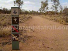
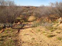
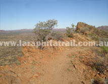
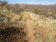
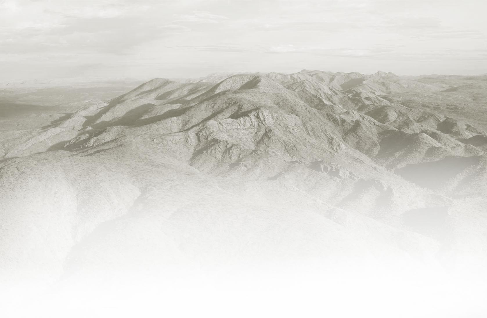
Section 1 is the official start point of the Larapinta Trail. This is a long walk along undulating and open country winding its way over creeks, gullies and small features. Euro Ridge is the most scenic and provides excellent views of the surrounding Alice Springs area. Hat Hill Saddle is also quite scenic. The walk can be a little boring at times compared to the rest of the trail but it is a comfortable walk. |
|
Snapshot |
|
 |
Long, undulating walk with some high ground parts |
 |
Wallaby Gap is a good halfway rest/overnight option |
 |
Good day walk |
 |
Easy 2WD access to both trailheads |
|
Highlights |
|
 |
Euro Ridge, especially early morning or late afternoon. |
 |
Morning/afternoon views from Hat Hill Saddle |
 |
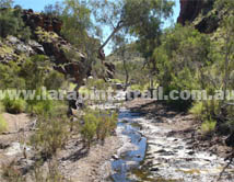
Scorpion Pool and Fairy Springs |
 |
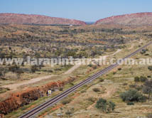
Railway Line (especially if you get to see the Ghan passing by) |
|
Related Links |
|
|
|
 |
|
|
Trail Grade |
 |
Med: Suitable for fit walkers |
Distance (km) |
23.8 |
|
Duration (hrs) |
9 |
Comfortable. |
Terrain |
Rocky |
Rocky, Loose |
Gradient |
Average |
Undulating. Some steep going |
Trail |
Good |
Trail is well defined |
Water |
Yes |
Limited. In tanks only. |
Shade |
Good |
High exposure to UV. Open country |
Camping Fees |
No |
|
Campsites |
Yes |
S1 Campsites page  |
Walk Options |
Yes |
Day - Overnight  |
|
 |
|
 |
|
 |
|
 |
|
|
 |
 |
 |
Section 1 - Larapinta Trail Map |
 |
Full Colour, Topographic Map, 50K scale |
 |
Durable. Weatherproof/Tear Proof paper |
 |
Highly detailed trail data, images, notes |
 |
Info on terrain, vegetation, profiles, landforms |
 |
Map Dimension: A3 / Double Sided / Folded |
 |
Developed by Larapinta Trail Trek Support  |
|
|
 |
|
 |
 |
S1 Webpage Coming Soon |
 |
NT Parks Section Fact Sheet and Trail Map  |
 |
NT Parks Section Fact Sheet and Trail Map  |
|
 |
|
 |
Getting to Telegraph Station Trailhead  |
 |
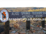
Telegraph Station is approximately 3km from north of Alice Springs and is accessible by 2WD. It is open between 8am and 9pm all year round. If you arrive outside these times, you can still access the trailhead by foot from the main gate (a couple of hundred meters away). |
Getting to Simpsons Gap Trailhead  |
 |
Access to Simpson Gap is via the sealed Larapinta Drive and can be accessed by conventional 2WD vehicle. Its is approximately 18km west from Alice Springs, and a further 6km off the main road. Simpsons Gap is open to vehicles between 7am and 9pm.  |
|
 |
|
Connected Walks & Trails |
Riverside Walk |
|
Trig Hill Loop Walk |
|
Cassia Hill Walk |
|
 |
Off Track |
Hat Hill Summit |
|
Wallaby Gap |
|
Scorpion Pool |
|
Fairy Springs |
|
|
|
 |
Views near Hat Hill Saddle |
|
 |
 |
Alice Springs Telegraph Station |
|
|
 |
 |
Trail parallels some of the old Telegraph Line |
|
|
 |
 |
|
|
 |
 |
Views of the railway and Alice Springs |
|
Views from the top of Hat Hill Saddle |
|
|
|
|