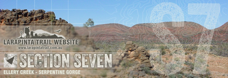
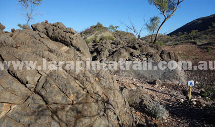
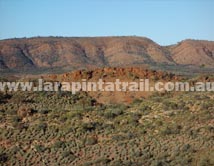
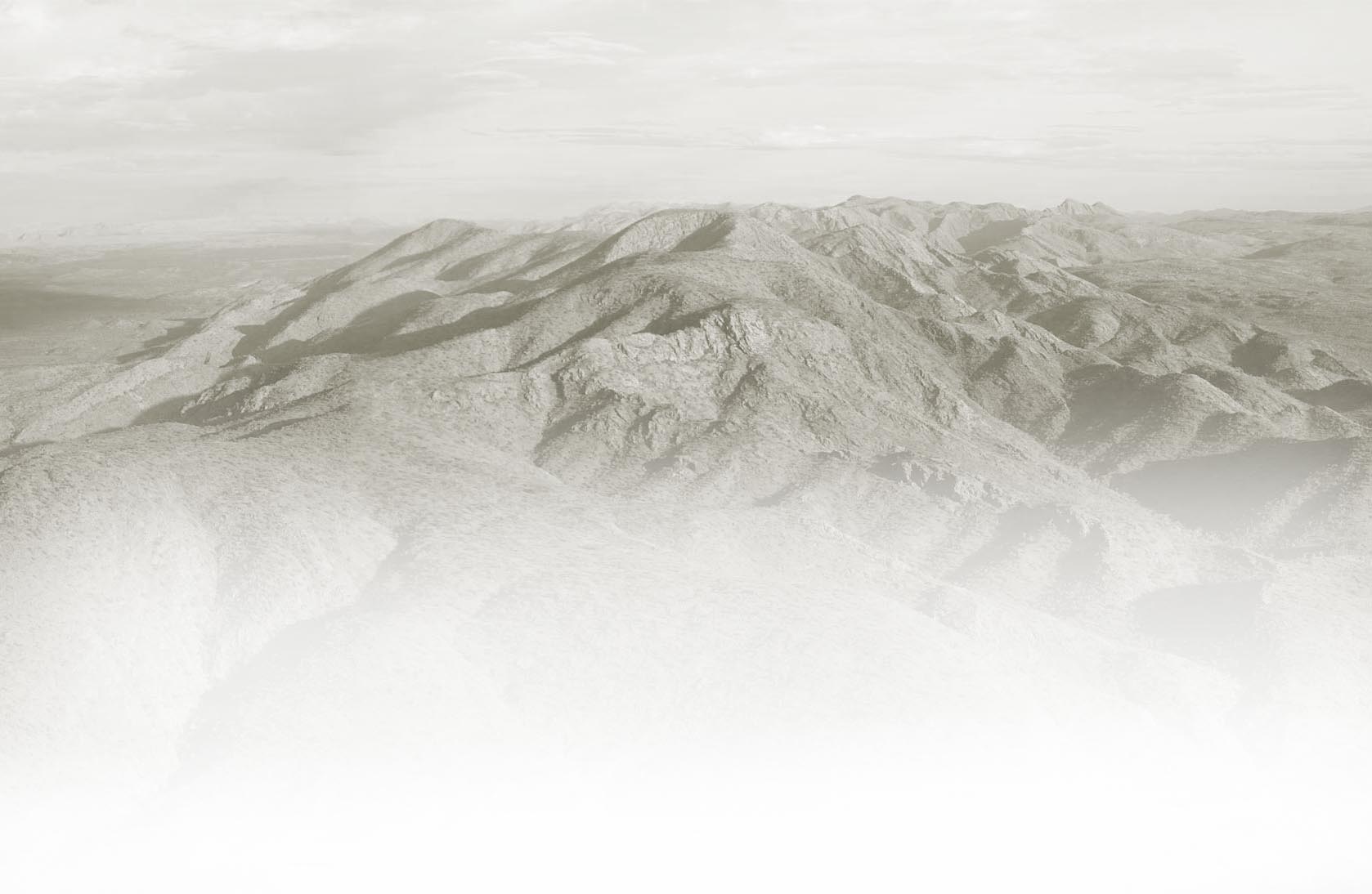
| One of the most mundane sections of the trail, Section 7 can be at times a frustrating walk because the trails winds up small pieces of jagged high ground unnecessarily. Scenically this section does have some impressive views of diverse geological formations and a rich array of typical Central Australian colours. Great walk for bird watchers. |
| |
 Snapshot Snapshot |
|
 |
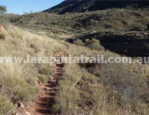
Winds up & down knolls and ridges for no real reason |
|
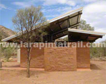
Easy access to trailhead and car park ( both ends) |
|
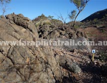
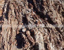
Rough jagged and sharp terrain along many parts |
|
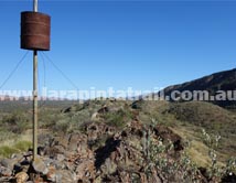
Ellery Creek is a food storage/cache point |
|
| Highlights |
|
|
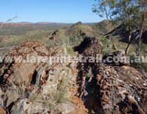
Great geological formations and impressive rocks |
|
Good bird life in the area |
|
Rich array of typical Central Australian colours and shades |
|
Nice views of MacDonnell Ranges to the south |
|
 Related Links Related Links |
|
|
|
 |
|
| |
| Trail Grade |
 |
Hard:Suitable for experienced walker |
| Distance (km) |
13.8 |
|
| Duration (hrs) |
5.5 |
Comfortable. Allow sightseeing |
| Terrain |
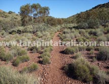
Rough |
Lots of hard jagged, sharp surfaces |
| Gradient |
Average |
Undulating |
| Trail |
Average |
Poor on high ground. Good below. |
| Water |
Yes |
Limited. In tanks only. |
| Shade |
Poor |
Very Limited. |
| Camping Fees |
Yes |
($5.00 per person) Ellery Creek |
| Campsites |
Yes |
S7 Campsites page  |
| Walk Options |
Yes |
Day |
|
|
|
|
| Ellery Creek |
           |
| Serpentine Gorge |
 |
|
|
|
|
|
|
|
|
|
|
|
 |
S7 Webpage  Coming Soon Coming Soon |
|
NT Parks Section Fact Sheet and Trail Map  |
|
NT Parks Section Fact Sheet and Trail Map |
|
|
|
|
") Getting to Ellery Creek Trailhead Getting to Ellery Creek Trailhead |
 |
The Ellery Creek Trailhead is approx 90 km west of Alice Springs and can be access via the sealed Larapinta & Namatjira Drives. Access from Namatjira Road to the car park is via a 2km rocky dirt track which is OK for 2WD's but can be a little bumpy. |
 Blog: Accessing Trailheads Blog: Accessing Trailheads |
| Getting to Serpentine Gorge Trailhead |
 |
The Serpentine Gorge Trailhead is approx 100km west of Alice Springs and can be accessed via the sealed Larapinta & Namatjira Drives. Access from the Namatjira Road to the car park is via a 5km rocky dirt track. The trailhead information board is located at the car park. The trail shelter and campsite is located approx 600m north east of the car park. |
|
|
|
 Connected Walks & Trails Connected Walks & Trails |
| Dolomite Walk |
|
|
 Off Track Off Track |
| None |
|
|

