| |
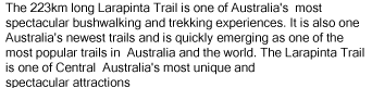
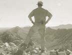
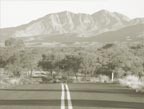
| Explore the Larapinta Trail |
| |
|
|
| |
 Section 1, Larapinta Trail Section 1, Larapinta Trail |
Accessing the Larapinta Trail |
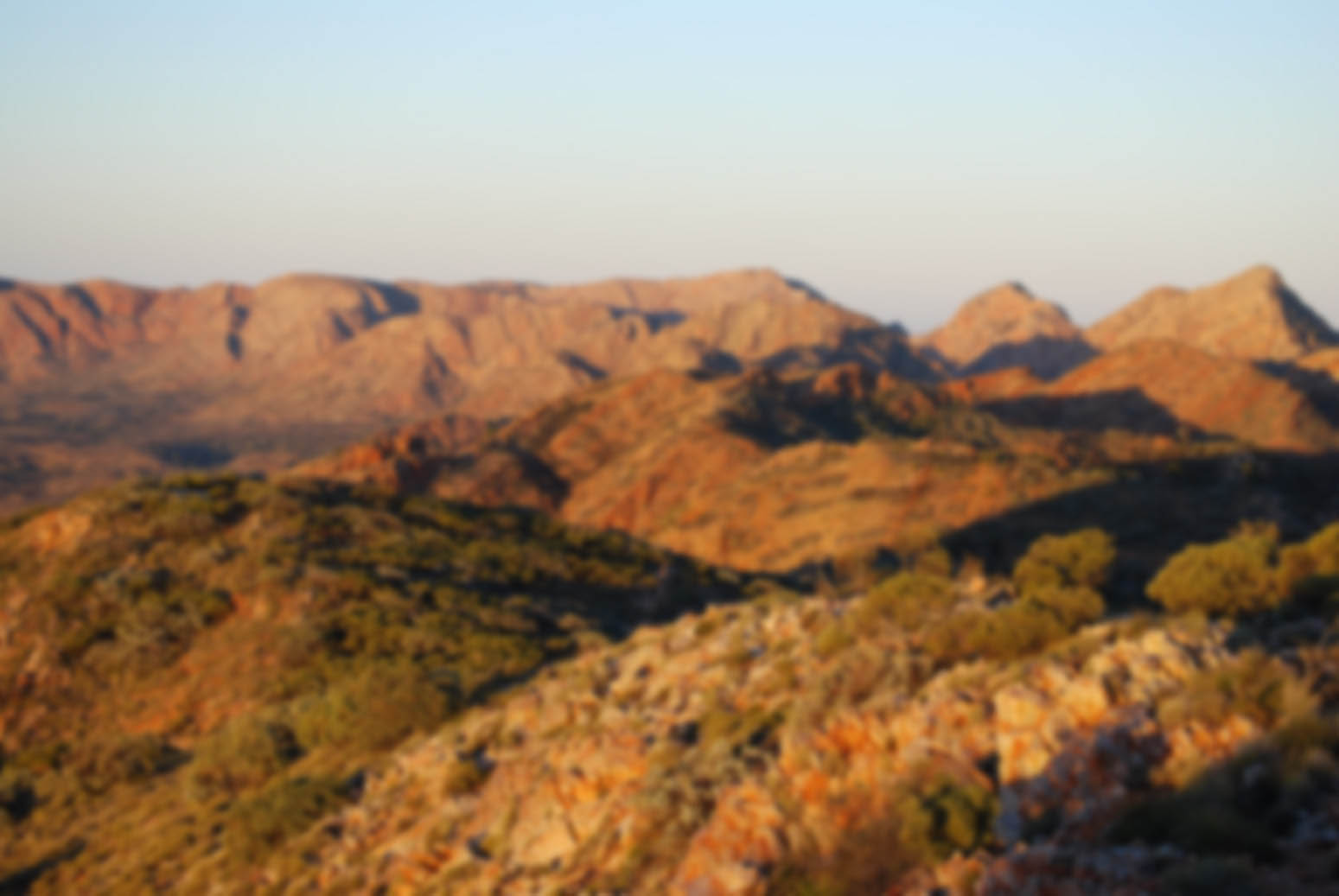
Larapinta Trail: A Snapshot |
Larapinta Trail Day Walks |
|
| |
Section 2, Larapinta Trail |
Getting to Alice Springs |
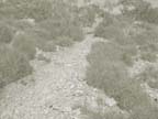
Larapinta Trail Trailheads |
Larapinta Trail Multiday Walks |
|
| |
Section 3, Larapinta Trail |
Larapinta Trail Water Considerations |
Larapinta Trail Campsites |
Larapinta Trail Overnight Walks |
|
| |
Section 4, Larapinta Trail |
Larapinta Trail Food Considerations |
Larapinta Trail Facilities |
Larapinta Trail Extended Walks |
|
| |
Section 5, Larapinta Trail |
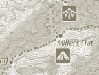
Larapinta Trail Equipment |
Larapinta Trail Conditions |
Larapinta Trail End to End |
|
| |
Section 6, Larapinta Trail |
Larapinta Trail Health and Safety |
Larapinta Trail Climate |
Larapinta Trail Off Track Options |
|
| |
Section 7, Larapinta Trail |
Larapinta Trail Emergencies |
Larapinta Trail Grading |
|
|
| |
Section 8, Larapinta Trail |
Larapinta Trail Communications |
|
| |
Section 9, Larapinta Trail |
Larapinta Trail Maps & Guidebooks |
| |
Section 10, Larapinta Trail |
|
| |
Section 11, Larapinta Trail |
|
| |
Section 12, Larapinta Trail |
|
| |
|
| |
|


